

Published Sep 29, 2026 | 4:22 PM ⚊ Updated Sep 29, 2026 | 4:22 PM

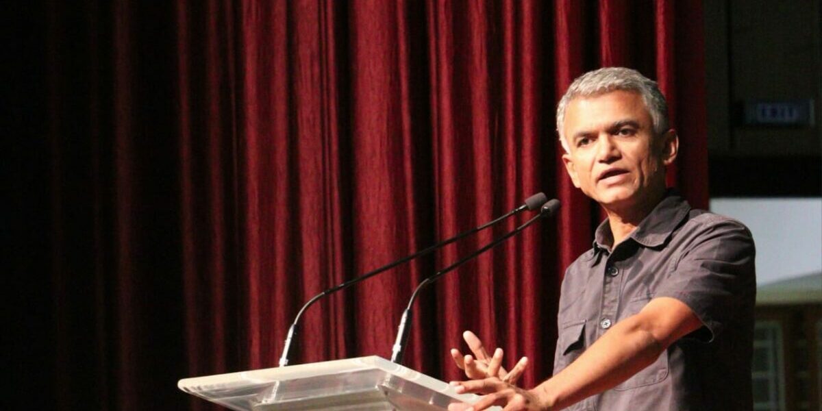
Bengaluru Development Minister Krishna Byre Gowda said the Government was organising it to give the city’s cultural life a larger public platform.

Synopsis: The Karnataka government has notified hundreds of future road corridors outside the Greater Bengaluru Authority as it seeks to reserve land for infrastructure before Bengaluru’s expanding urban footprint makes new roads difficult and expensive to build.
To avoid repeating what it calls decades of inadequate infrastructure planning in Bengaluru, the Karnataka government has begun reserving a network of future road corridors in rapidly urbanising areas outside the Greater Bengaluru Authority (GBA).
Addressing a news conference on Tuesday, 29 September, Bengaluru Urban Development Minister Krishna Byre Gowda cited the incorporation of 110 villages and seven City Municipal Councils (CMCs) around two decades ago as an example of the consequences of inadequate planning.
“When 110 villages and seven CMCs were brought into Bengaluru around two decades ago, adequate basic infrastructure was not planned. Today, in several already developed areas, we cannot even create or widen roads because there is no space,” he said.
To avoid repeating Bengaluru’s urban-expansion mistake, Gowda said the government has notified hundreds of new Comprehensive Development Plans (CDPs) across the Bengaluru Urban district, with proposed widths ranging from 30 metres to 45 metres to 90 metres.
The Bengaluru Metropolitan Region Development Authority (BMRDA), along with local planning and development authorities, is undertaking the exercise. Gowda said the agencies were directed to mark a new road grid in the existing master plan for areas of Bengaluru Urban district outside the GBA.
Also Read: East Bengaluru residents demand action to ensure smooth traffic
The BMRDA, the Zilla Panchayat and the Public Works Department (PWD) have been asked to physically mark the notified road corridors and identify stretches to prioritise for development.
The roads are not intended to be constructed immediately. Instead, the government is seeking to protect the corridors from further construction so they remain available as Bengaluru expands.
“Some may come up after five years, eight years or even 10 years. What we are doing now is reserving the road corridors so that buildings, apartments and layouts do not come up on land that will be needed for roads in the future,” Gowda said.
The exercise, he said, stems from Bengaluru’s experience of expanding without adequate planning for roads, water supply, underground drainage and sanitation.
While Bengaluru currently covers around 750 sq km, Gowda said nearly 1,200 sq km around it already has an urban character. Citing expert reports, he said this could expand to around 1,400 sq km and eventually 1,800 sq km.
“We have to plan infrastructure before construction comes up everywhere,” he said.
Also Read: Concerns over Bengaluru’s Rs 1,300-crore elevated corridor
The proposed road grid is intended to connect taluk and hobli headquarters, major district roads and state highways with larger transport corridors, including the Peripheral Ring Road and Satellite Town Ring Road. The network could eventually extend to thousands of kilometres and would be developed in phases.
Gowda said the government had attempted to minimise disruption to existing settlements while identifying the corridors using satellite imagery.
“Around 90 to 95% of the newly marked stretches are through greenfield or open areas,” he said.
The notification does not immediately take land away from property owners. Agricultural activity and land sales can continue, but new construction will not be permitted within the notified road corridors.
Existing approved properties will retain their rights, Gowda said. If such properties are eventually required for road construction, compensation would have to be provided under the 2013 land acquisition law, or Transferable Development Rights (TDR) could be considered if the owner relinquishes the required land.
The minister also clarified that the exercise does not alter existing land-use classifications.
“We have not changed the green-belt or yellow-belt classification. This is only road reservation,” he said.
Also Read: Shivakumar says tunnel road project poses no risk to Lalbagh
To prevent future disputes over what existed before the notification, the government plans to video-record every notified road corridor, publish the footage online, and install physical markers showing the proposed width and alignments.
“There is no expenditure merely for marking these roads. Money will be required only when a particular road is taken up for construction,” Gowda said.
Funding for roads eventually taken up could come through Zilla Panchayat resources, state grants and the PWD.
The road reservation is part of a broader effort to plan infrastructure across Bengaluru Urban district before further urbanisation. The entire district has been brought within the BWSSB’s purview for planning future water demand, sources and distribution, while the government has also sought a sanitation master plan.
Officials have now been given 15 days to identify notified roads that already carry high traffic volumes, in consultation with the Bengaluru Traffic Police. The PWD could prioritise these stretches for construction.
“Once the priority roads are identified, we can assess how much funding will be required,” Gowda said.
(Edited by Majnu Babu).



