

Published Sep 24, 2026 | 1:00 PM ⚊ Updated Sep 24, 2026 | 1:00 PM

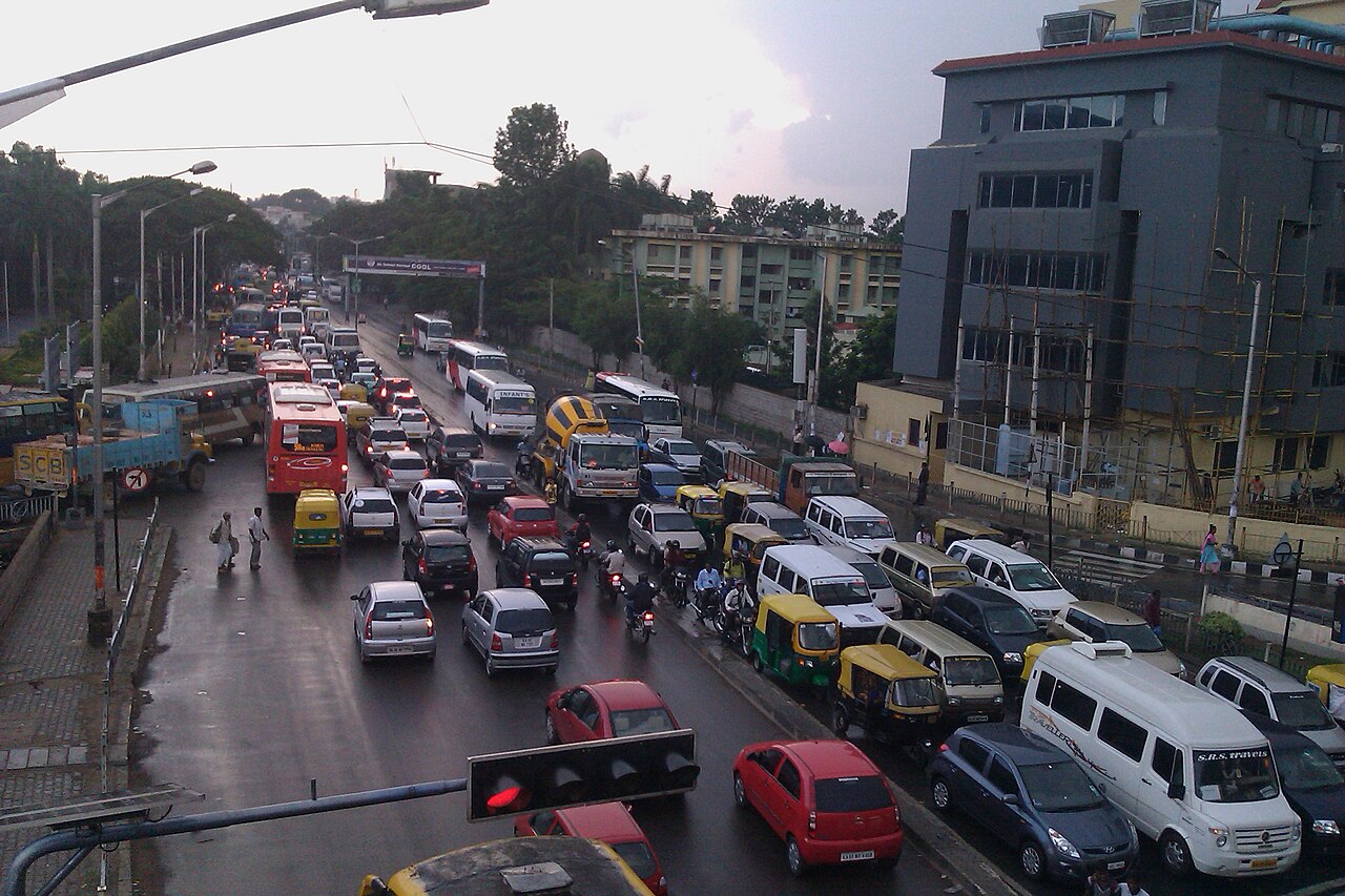
The proposed elevated road would connect Old Madras Road with Silk Board Junction. (Ashwin Kumar/Creative Commons)

Synopsis: Residents and the Directorate of Urban Land Transport have raised concerns over the corridor’s traffic assumptions, sharp turns through Indiranagar and its absence from the CMP 2020, even as B-SMILE says it is studying alternatives.
The proposed ₹1,300- crore, 11.6-km elevated corridor from Swami Vivekananda Metro Station to Central Silk Board Junction has raised concerns among citizens over its proposed alignments, design, feasibility, and absence from the Comprehensive Mobility Plan (CMP) 2020.
The Bengaluru Smart Infrastructure Limited (B-SMILE) is the state agency handling the proposed corridor project.
The elevated corridor begins near Swami Vivekananda Metro Station on Old Madras Road. It passes through Indiranagar (CMH Road, 100-Feet Road and 80-Feet Road) before heading towards Domlur, Koramangala, Madiwala, and eventually Silk Board Junction.
Significant portions of the Indiranagar alignment pass through residential neighbourhoods, raising concerns among residents.
Ashok Sarath, a member of I Change Indiranagar, a Residents Welfare Association federation based in Indiranagar, termed the project a misfit in Bengaluru’s broader mobility planning. He pointed out that while the detailed project report (DPR) referred to the Revised Master Plan (RMP), 2015, it did not refer to the Comprehensive Mobility Plan (CMP), 2020, which laid out the city’s transport and mobility priorities.
“There needs to be a properly constituted authority to ensure that all infrastructure projects relating to transport are approved by the nodal body that looks at the entire city, looks at all the different modes available and then decides whether to go ahead. All these projects should look at how they all work together, instead of looking at projects as standalone ones,” he opined.
The second concern was over the traffic data used to justify the corridor.
Also Read: Bengaluru begins vehicle restrictions on five elevated corridors in road-safety pilot
Sarath argued that traffic recorded at points such as Domlur did not necessarily mean all vehicles would be heading towards Silk Board or Electronic City. Many could be travelling to employment hubs at Domlur, Embassy Golf Links and surrounding areas.
“How much of that traffic originates within Indiranagar. How much of it originates from outside Indiranagar?” Sarath asked.
He added that projects based on “bad data” would produce bad results.
The DPR South First accessed revealed that the Directorate of Urban Land Transport (DULT), the state government agency responsible for urban transport planning and promoting sustainable mobility, had raised similar concerns. The DPR, prepared between April 2025 and January 2026, estimated that the project would take 24 months.
The DULT noted that the proposed alignment was not a part of CMP, 2020. It recommended scrutinising the CMP during its revision.
It also questioned the traffic assumptions used in the DPR. DULT said the claim that at least 50% of the projected traffic would use the elevated corridor “lacks substantiation” and sought a clear justification for the assumption.
DULT also said the project’s usefulness and cost-benefit could be properly assessed only after a comprehensive proposal covering both the elevated corridor and the road at ground level was prepared.
“In the current form, the DPR does not have adequate clarity,” it said.
Also Read: School buses stranded for hours, East Bengalureans seek action
Regarding the Indiranagar alignment, Sarath said that the sharp curves at 80-Feet, 100-Feet, and CMH roads, would slow down the vehicles. It would defeat the purpose of having an elevated corridor, he argued.
DULT had raised a similar concern in its review of the DPR, noting that the sharp turning radius at the 80 Feet Road-CMH Road signal and the CMH Road–100-Feet Road Junction “may be unsafe”. It recommended widening the road at the curves and introducing measures to slow down vehicles.
Because of concerns about potential tree loss and impacts on residential areas, the group proposed an alternative alignment through Suranjan Das Road and Old Airport Road.
Sarath said I Change discussed the alternative with B-SMILE officials around June and later met the project consultant in mid-to-late July, arguing that the alternative passed largely through commercial areas and would have less impact on residential neighbourhoods.
“We had submitted a letter to Prahlad Rao, listing our demands, and he said he would look into the matter. However, we are yet to hear back from them,” Sarath said. Rao is the chief of B-SMILE.
The residents have also approached the Karnataka High Court challenging the project. “We have submitted our petition, and the court has taken it up. It has been admitted,” Sarath said.
B-SMILE’s Rao told South First that he had received the letters and proposals from the residents.
“We are conducting studies on the matter and exploring alternative routes that were proposed to us during the meeting. We will arrive at a decision soon,” he said.
(Edited by Majnu Babu).



