Published Nov 02, 2022 | 4:37 PM ⚊ Updated Nov 02, 2022 | 4:37 PM


A illustration featuring the Ente Bhoomi mascot 'Survey Pappu' with a Continuously Operating Reference Station (CORS) used for the survey. (Supplied)

When Thiruvananthapuram native Bindhu decided in September to pledge 20 cents of her land to raise money to invest in a small business, little did she know that an ordeal awaited her.
The bank she approached raised some doubts regarding the title deed of the land and demanded a clarification.
She immediately went to the Village Office with the bank’s request for clarification. Only to be sent to the Taluk Office, and then to departments like Registration, and Survey and Land Records. Basically, she was sent from pillar to post.
But, more than a month later, she is yet to get the clarification the bank sought. And, in Kerala, Bindhu is not alone in her agony and frustration.
Each day thousands in the state face distress of one kind or the other related to land records, which involve various kinds of documents like property maps, agreements to sell, sale deeds, powers of attorney, and others. Even a minor error in any of these documents is enough to make one’s life difficult.
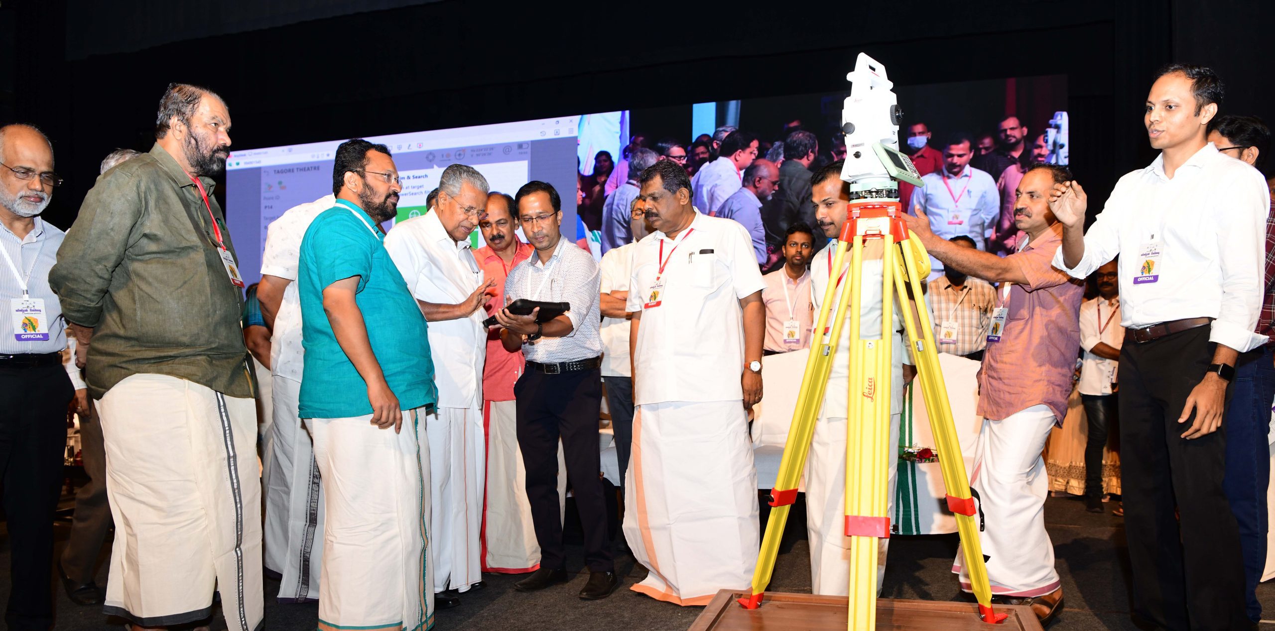
Kerala Chief Minister Pinarayi Vijayan at the launch of the Ente Bhoomi digital land resurvey. (Supplied)
However, there might be relief in store for Bindhu and her ilk.
On Tuesday, 1 November — the State Formation Day, or Kerala Piravi — Chief Minister Pinarayi Vijayan rolled out the Ente Bhoomi (My Land) programme that, he has promised, will put an end to all issues related to land ownership.
“Ente Bhoomi is a flagship initiative. It will ensure a citizen’s right to hold a land title that is free from disputes and that too with clear land measurements,” K Rajan, state revenue minister, told South First.
Ente Bhoomi — whicbh even has its own mascot, an elephant called Survey Pappu — is an ambitious digital land resurvey programme that, when completed, could mark a watershed moment in the state’s land governance.
The digital land resurvey is envisioned to realise three objectives: Complete the resurvey work that started in the state in 1966, help the state fructify its plan to switch to “conclusive land titling”, and, finally, to make the state the first in the country where there are no landless citizens.
Or, in the words of Minister Rajan, through digitalisation, the government desires to meet the objectives of “Land for Everyone, Title to that Land, and Smart Services”. He also added that digitalisation could help to lessen land dispute cases being filed in courts as well as land records maintenance (LRM) grievances.
“It was in 1966 that the state commenced the resurvey work. But even after 56 years, it hasn’t been completed. Because of this, the state now has more than 1.47 lakh LRM grievances and scores of land dispute cases pending disposal. The digital land resurvey is expected to lessen this burden,” added Rajan.
Of the state’s 1,666 villages, the digital resurvey will be completed in 1,550 villages within the next four years.
According to the Department of Survey and Land Records (DSLR), which oversees Ente Bhoomi, the programme is being executed under the Rebuild Kerala Initiative (RKI, a government-level programme to build a resilient Kerala). And the total cost of the project has been pegged at ₹807 crore.
“For the first phase, ₹438.46 crore has already been allotted. For the digital survey, in addition to the staff of DSLR, 1,500 surveyors and 3,200 assistants will get appointed temporarily,” said an officer of DSLR.
As per the plan, in the first three years (that is from 1 November) 400 villages each will get surveyed digitally. In the last year, 350 villages will be covered. In the first year, the digital land survey has already been completed in 94 villages and it is in various stages in 22 villages.
For a commoner, the digital land resurvey brings a lot of benefits. The most important among them is getting the record of rights.
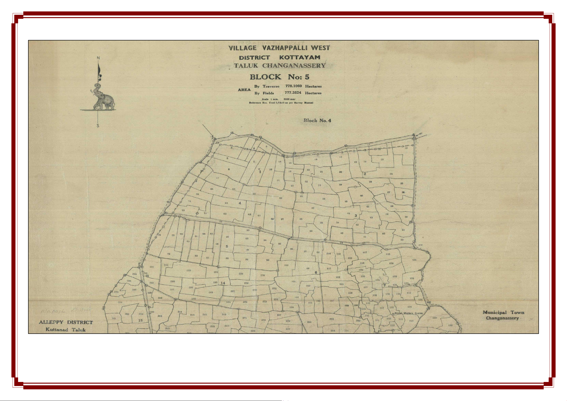
Old paper document of surveyed land. Prone to inaccuracies, disputes and fraud.
Of the 1,666 villages in the state, resurvey has been completed only in 918 villages. The rest have to rely on old records that are over a hundred years old or were prepared during the time of the erstwhile Travancore kingdom. This creates hardships for commoners as well as for officials engaged in revenue administration
“Without a legal document or record of rights, a property owner will not be able to utilise his/her property as a financial asset. This could be to avail loans from banks or other financial institutions. Also, such institutions will not accept old records. They always demand updated ones. Through digitalisation such issues could be resolved,” said Rajan.
Another major benefit that the minister pointed out was the state’s plan to move to conclusive land titling.
“The move from presumptive land titling (where the ownership of land is established based on current possession) to conclusive land titling has its benefits.
“In the latter, land records designate actual ownership. As the title is granted by the government, the responsibility for accuracy also lies with the government,” added Rajan.
In short, the burden of proof lies with the government.
The other benefits are: Establishing a single-window system for all land record-related services which are now being availed separately from different departments like Revenue, Registration, and Survey; updating land-related details without any delay or difficulty; and settling applications promptly online.
“Once this digital land resurveys gets completed one will get a clearly demarcated property. Most often the absence of the same led to a high number of land-conflict cases,” said a DSLR official.
“After the resurvey, one will get a unique Property Identification Code followed by a Property Card. This record of rights will in turn help people monetise their property as collateral,” the official told South First.
On the administrative side, outdated land records create problems in land management for executing various projects, planning disaster management-related schemes, identifying government-owned land, checking revenue deficit, and others.
Nizamudeen A, commissioner, Kerala State Land Use Board, told South First, “To ensure the sustainable management and conservation of land resources, an error-free land parcel map is needed. The digital resurvey is expected to help that cause.”
“Such data will help us to recommend an appropriate policy framework to help the government to arrive at the correct decision on a land,” he added.
At the same time, the Revenue Department is of the assessment that a digital land record will not only become a basic document for various agencies like the Kerala State Disaster Management Authority, but it will also help to create a Geographic Information System (GIS) map for various needs.
“Digital land survey will ensure that one is paying land tax based on the area one owns. Nothing more, nothing less. It will help to identify the government-owned lands and identify the land grabbers, if any. Such land could also be given to the poor with title deeds,” said a Revenue Department official.
To conduct the digital land survey, state-of-the-art technologies in surveying are being used.
It includes Continuously Operating Reference Stations (CORS), Real-Time Kinematic (RTK) Rover, Robotic Electronic Total Station (RETS), and drones.
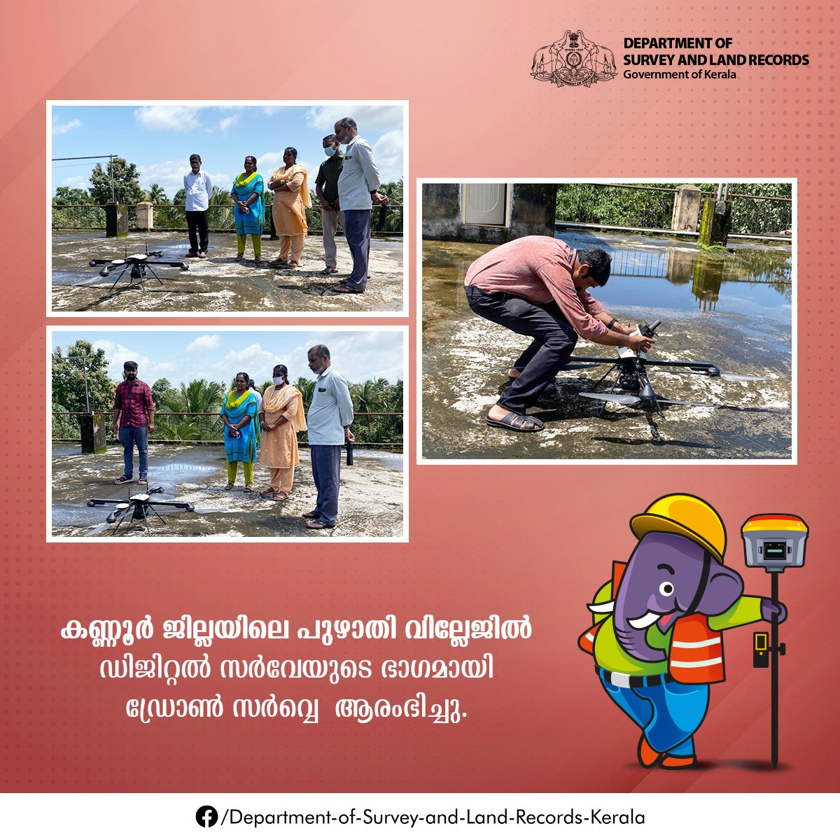
An Entre Bhoomi poster showing the use of drone for the land resurvey. (Supplied)
“For the digital land survey, 28 CORS will come up at various parts of the state. In addition to that, 1,000 RTK Rovers, 700 RETS, and 1,700 tablet computers will also be provided to the surveyors on the field,” said Rajan.
According to him, through the signals from the CORS and with the help of RTK Rovers, accurate and transparent digital surveying could be conducted. Drone technology will be used in such areas where it is practical.
It is learned that drones will be used at 20 percent of the land parcels in the digital resurvey. The rest will be carried out using the CORS, RTK, and RETS technologies using the fund from the RKI.
In the case of drone survey, it will be carried out under the SVAMITVA (Survey of Villages Abadi and Mapping with Improvised Technology in Village Areas) Scheme of the Ministry of Panchayat Raj.
“At 70 villages drone flying has been completed and data processing of 69 villages is over. Maps of 11 villages were handed over to the concerned. Now they had to give back the maps after verification. Then comes the dispute resolution and it will be only after that the final land parcel map will come,” said a source to South First.
The DSLR officials said that proper directions have already been given to the public regarding the digital survey.
“Notices/pamphlets regarding how to demarcate their land for the aerial survey as well as for the RTK-based surveying have already been given. The field staff was asked to help those who had doubts on the same,” said an official.
Officials suggest that in the present system of presumptive land titling, the scope of fraudulent land registry is high. They cite that the absence of definitive proof of ownership is what makes the land registry vulnerable to fraud.
However, in the case of digital land resurvey, because of the complete computerisation of the property registration process and digitisation of all land records, the scope of fraud is less.
“The details being collected as part of the digital resurvey are stored in the Kerala State Data Centre (KSDC). Thus, the security arrangements made for the data stored in the KSDC are applicable to resurvey details also,” said a DSLR official.
In India, the digitalisation of land records was initially started in the 1980s through centrally-sponsored schemes called Computerisation of Land Records and Strengthening of Revenue Administration and Updating of Land records.
It was followed by a comprehensive scheme called the National Land Record Modernisation Programme in 2008 to implement a Conclusive Titling System.
Keeping in view the importance of the land records and expediting the digitisation process of land records, in 2015-16, the scheme was revamped and brought under the Digital India umbrella initiative of the government and renamed as Digital India Land Records Modernisation Programme.
