

Published Sep 21, 2026 | 9:43 PM ⚊ Updated Sep 21, 2026 | 9:46 PM

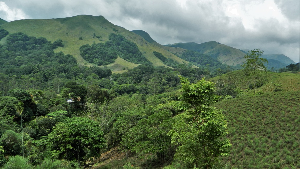
Chief Minister DK Shivakumar said Karnataka would protect the Western Ghats while safeguarding the lives, livelihoods and rights of communities.

Synopsis: The Karnataka government and Opposition discussed the need for ground-level verification of proposed Ecologically Sensitive Areas in the Western Ghats, questioning satellite-based mapping under the Kasturirangan framework. While BJP leaders sought physical surveys and local consultations, the government proposed drone LiDAR and plot-level mapping to balance conservation with farmers’ land and livelihood concerns.
The BJP demanded that the Karnataka government conduct a physical survey to understand ground realities before taking a final stand on implementing the K Kasturirangan Committee report on the Western Ghats.
Participating in a debate during a special session of the legislature on Monday, 21 September, Opposition Leader R Ashoka opposed both the Madhav Gadgil and Kasturirangan reports in their present form and questioned the satellite-based mapping used to identify ecologically sensitive areas (ESAs).
“When you survey through satellite, even if there is a coffee plantation below, it is forest; even if there are arecanut trees, it is forest; even if there are fields, it is forest. This is the problem,” Ashoka said.
He claimed such “technical errors” could affect lakhs of farmers across 10 districts and warned that ESA restrictions could complicate infrastructure works such as drinking-water pipelines and electricity lines.
Ashoka proposed a three-dimensional approach: first, a physical survey to verify satellite mapping; second, take Karnataka’s concerns to the Union government; and third, form a legal team to pursue the issue before courts and the National Green Tribunal (NGT).
He expressed the Opposition’s willingness to join the government in taking the state’s concerns to the Centre and cautioned against turning the issue into a Centre-state confrontation.
“We are ready. We have no objection, because of the concerns of our farmers, their land and their livelihoods,” he said. “If the Centre and state government fight over this issue, the people will be the ones affected,” he said.
Also Read: It’s BJP vs BJP as Karnataka rejects Central notification of Western Ghats as ESA
Karnataka BJP president BY Vijayendra also called for physical verification, arguing that land use and ground realities had changed since the satellite survey on which the Kasturirangan proposals were based.
“We need to physically verify what an arecanut plantation is, what is a mango plantation, what is agricultural land and forest and where the settlements are located. Decisions affecting people’s lives should not be taken without a physical survey,” he said.
Vijayendra sought survey-number-level ESA maps for affected villages and said they should be made available to the public in Kannada. He proposed joint physical surveys by the Revenue and Forest departments with the participation of Gram Panchayats and local elected representatives, along with special Gram Sabhas to record residents’ views.
He also argued that passing a resolution against the Centre alone would not resolve the dispute.
“Passing a resolution against the Centre alone will not resolve the issue. We must consider what will happen before the NGT. The judicial process will also have to be faced. Therefore, the state government must move forward with complete preparation,” Vijayendra said.
“We can appoint a legal team, conduct a physical survey, prepare an alternative map and obtain Gram Sabha resolutions. Based on this, we can formulate measures to protect people’s livelihoods and submit a comprehensive report to the NGT,” he said.
Vijayendra also sought time-bound disposal of pending applications under Bagair Hukum and Section 94A and proposed a separate task force to resolve disputes over Forest and Revenue department boundaries.
Also Read: Vande Mataram row reaches Karnataka Legislature as BJP recites full song
Congress MLA Belur Gopalakrishna said the Kasturirangan recommendations could add to longstanding land and rehabilitation disputes affecting communities in the Malnad region.
“We need forests to survive. Rivers and biodiversity too must survive. At the same time, the lives of our farmers are extremely important,” he said.
Referring to families displaced by the Sharavathi reservoir and the Chakra and Varahi projects, Gopalakrishna said communities were already dealing with land-rights disputes, deemed forests, wildlife conflict and unresolved rehabilitation issues.
He called for officials to visit affected villages and examine forests, agricultural land, and settlements before determining ESA boundaries.
“We have assembled in this House not merely to oppose a report. It is to protect the lives of the people of Malnad, farmers’ land, the future of our children and our region’s right to development,” he said.
Gopalakrishna also claimed that the Union Environment Ministry had held 11 meetings on the Kasturirangan issue and alleged that Karnataka’s elected representatives failed to participate and raise farmers’ concerns.
Also Read: Why climate change is not just a stranded polar bear on Arctic floe
Chief Minister DK Shivakumar said Karnataka will not accept “arbitrary blanket restrictions” and will seek to protect the Western Ghats while safeguarding the land, livelihoods and rights of communities in the region.
In its proposed National Policy Blueprint for the Western Ghats, the government argued that low-resolution satellite imagery could mistake shade-grown coffee, tea and spice plantations for natural forests and bring entire villages under ESA restrictions if it detected 20% tree cover.
As an alternative, it proposed drone LiDAR and plot-level mapping to distinguish natural forests from agricultural land, along with greater participation of farmers, tribal communities and residents in decisions affecting their land.
The blueprint also proposed payments for ecosystem services, legal rights and paid forest guardian roles for tribal communities, controlled tourism and clean-power projects with safeguards, and Lokayukta oversight against illegal land grabbing.
(Edited by Majnu Babu).



