Published Jun 05, 2023 | 7:01 PM ⚊ Updated Jun 06, 2023 | 4:38 PM


Cyclone Biparjoy in the Arabian Sea, as seen from the satellite. (India Meteorological Department)

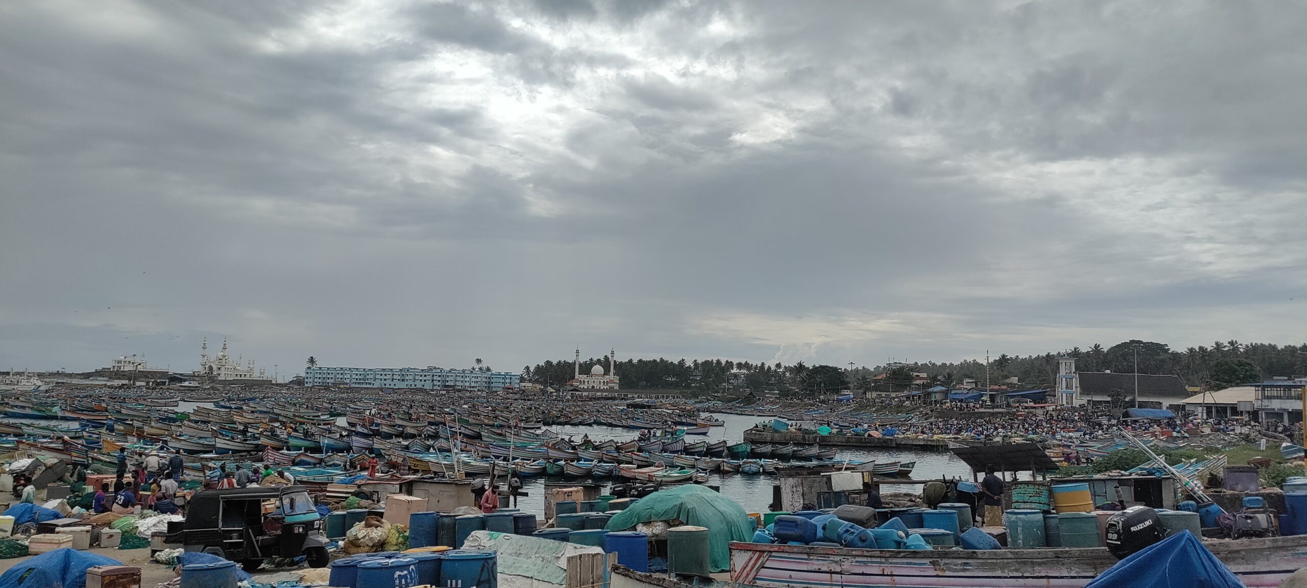
Fishermen continued to stay away from the sea in Thiruvananthapuram on Tuesday, 6 May, as the India Meteorological Department (IMD) warned of a cyclone further north in the Arabian Sea by evening.
Scientists say that with an already delayed onset, monsoon patterns and spread could be affected by the cyclone — now named by Bangladesh as Cyclone Biparjoy.
“Yesterday’s low-pressure area over southeast Arabian Sea has concentrated into a depression and moved nearly northwards with a speed of 11 kmph in last three hours and lay centered at 0830 hours IST about 950 km west-southwest of Goa, amd 1,100 km southwest of Mumbai,” IMD Thiruvananthapuram said on Tuesday.
“It is likely to move nearly northwards and intensify into a cyclonic storm over east-central Arabian Sea and adjoining Southeast Arabian Sea in next 12 hours,” IMD said.
The system is likely to develop into a severe and very severe cyclone, according to IMD’s regional outlook.
The cyclone could bring widespread rain, thundershowers and winds of 30-40kmph on the shores of Kerala, the IMD said.
Scientists, however, said the cyclone could also move the rainclouds away from the shore, affecting the onset of monsoon showers.
Clouds over the shore of Thiruvananthapuram. (Supplied)
Earlier, on Monday, IMD had reported scattered, low clouds over the central Arabian Sea. Reports from Agatti island in Lakshadweep Islands said there had been heavy thunder and lightning and some rain overnight.
Arabian Sea cyclones have been occuring along with the monsoon onset more frequently in recent decades, noted a paper by IMD scientist PP Baburaj.
This can affect the energy and movement of the monsoon wind and cloud systems for a certain period before and after the onset, noted the IMD, the Indian Institute of Tropical Meteorology (IITM), and Cochin University of Science and Technology scientists (Cusat), in a set of studies.
Abhilash Sukumarapillai, the director of Cusat Advanced Centre for Atmospheric Radar Research, who guided Baburaj’s research, sees this link as yet another sign of climate change that is also changing storm patterns.
“Climate change is already affecting the seasonality and characteristics of the Indian summer monsoon,” he told South First.
Arabian Sea cyclones can not only affect the monsoon onset over Kerala but also its northward movement, IMD scientists said.

A view of the Arabian Sea from Thiruvananthapuram. (Supplied)
These cyclones alter the atmospheric forces that move the monsoon system, and its temperature and energy before and after the onset, they added.
The monsoon surges northwards from Kerala, parallel to the southwest coast during the onset phase when there is no cyclone. It covers the entire southwest coast within the next 10–15 days. When there is a cyclone, however, the rainfall belt moves along with the cyclone, pulling the rain clouds away from the shore.
Some IMD scientists speculate that this kind of movement of rainclouds away from the shore might happen this time. However, there is no official cyclone warning yet. Cyclones are dynamic systems, and they can gain or lose strength fast.
As a tropical cyclone is spread around 1,000 km and stretches upwards to the tropopause, the boundary between the dry stratosphere and the more meteorologically active layer below.
It can alter the monsoon circulation and the vertical transport of heat and moisture in the atmosphere, especially by updrafts and downdrafts at the time of onset to a large extent, IMD scientists note.
Scientists point out that the onset over the southern edges of the country is associated with two large-scale circulation features — Low-Level Jet (LLJ) with its core at about 1.5 km above mean sea level and core wind speed of 74 – 130 kmph and Tropical Easterly Jetstream (TEJ) further up with a maximum windspeed of 148 – 185 kmph.
The evolution of these wind features along with the distribution of rainfall across space, before and after the onset, shows a delay of 10–15 days during the years of Arabian Sea cyclones, as the IMD-CUSAT-IITM studies show.
Weaker than normal LLJ is found to affect the sea surface temperature distribution through reduced evaporation and subsequent cooling. As a result, the sea surface temperature over the south Arabian Sea is higher during the years of the cyclone.
IMD observers are closely watching the circulation over the Arabian Sea.
Meanwhile in Thiruvananthapuram, Davidson and colleagues are often frustrated about continuing fishing restrictions, while there is no strong wind over the shore.
“What they forecast is much more than the wind we actually see here,” he pointed.
Artisan fishermen of Thiruvananthapuram have been demanding highly localised marine forecasts that allow fishing safely close to the shore even when there are distant systems in the making.
(This story has been updated with the latest information from IMD)
