Published Jun 07, 2023 | 7:28 PM ⚊ Updated Jun 07, 2023 | 8:32 PM


IMD satellite image of Cyclone Biparjoy.

Tropical Cyclone Biparjoy has developed into a very severe cyclonic storm (119–221 kmph) bringing isolated heavy rains over the coast of Kerala — and, contrary to expectations, may herald the onset of the Southwest Monsoon.
“Very severe cyclonic storm Biparjoy is likely to intensify further during the next four days and move nearly northwards during the next 24 hours and then north-northwestwards in the subsequent three days,” the India Meteorological Department (IMD) regional office in Chennai said on Wednesday, 7 June..
The system was located over the East-central part adjoining the Southeastern Arabian Sea about 860 km south-southwest of Goa by Wednesday (7 June) noon, IMD said.
As forecast, there were isolated heavy rains with thunder and wind along parts of the Kerala coast. There are reports of good rains in different parts of Ernakulam, for instance.
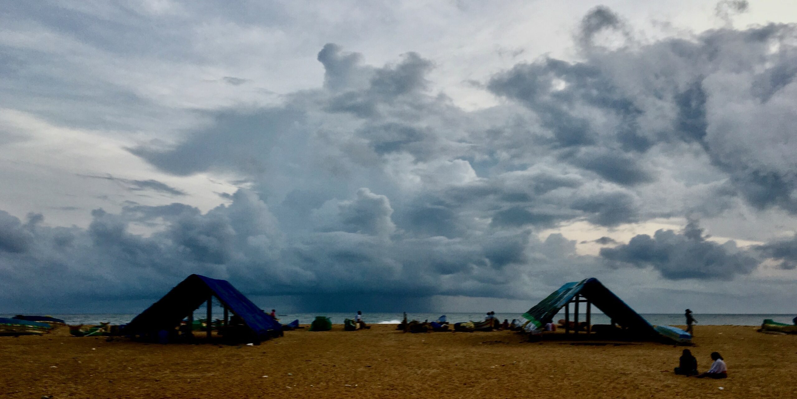
Rain clouds gather off the shore of Puthiyathura, a traditional fishing village
IMD Thiruvananthapuram has forecast heavy rains, thunder and lightning in several places till Saturday (11 June).
As the system is moving northward, the coastal waters of Thiruvananthapuram are not likely to face the fury of the wind, scientists said.
Wind maps show local coastal waters calmer compared to parts of the deep ocean. Still, IMD has issued a no-fishing advisory as a precautionary measure. Deep sea fishers have been advised to return.
Some of the clouds hurled by the cyclonic system hovered over the shores giving isolated heavy showers along coastal Kerala, as satellite and radar images show.
In general, a cyclone close to this time delays the onset of the monsoon and hampers its progress by affecting wind flow and taking away a large share of the clouds.
However, the storm system can also bring more rain, making conditions conducive for the monsoon for a while.
Weather observers expect the IMD to declare monsoon onset over Kerala soon, maybe in a couple of days, if the rains sustain.
“The onset will likely be declared soon,” said a senior scientist who works closely with IMD in forecasts.
The IMD monsoon map updated on Tuesday showed the northernmost limit of monsoon south of peninsular India touching parts of Lakshadweep.
As IMD scientists explain, a southwest monsoon normally sets in over Kerala around 1 June.
“It advances northwards, usually in surges, and covers the entire country around 15 July.”
The onset is delayed this time due to the impact of cyclones, scientists said. Earlier Typhoon Mawar over the Pacific contributed to the delay.
There is a list of prerequisites to declare the onset of monsoon.
The IMD notes that, after 10 May, if eight of the 14 listed stations report rainfall of 2.5 mm or more for two consecutive days, the onset over Kerala can be declared on the second day, provided some wind and reflected radiation conditions are also met.

Monsoon clouds. (Creative Commons)
The stations involved are Minicoy and Amini in the Lakshadweep Islands, Thiruvananthapuram, Punalur, Kollam, Alappuzha, Kottayam, Kochi, Thrissur, Kozhikode, Thalassery, Kannur, and Kudulu in Kerala, and Mangaluru in Karnataka.
The other IMD criteria include the depth of westerlies maintained up to a certain low level of pressure (600 hPa) in the area between the equator to Latitude 10 degree North and Longitude 55 degrees East to 80 degrees East.
The atmosphere exerts pressure on the Earth’s surface, measured in hectoPascals (hPa), also called millibars. Standard pressure at sea level is defined as 1013 hPa, but it can vary.
The zonal wind speed over the area bounded by Latitude 5-10 degree North and Longitude 70-80 degree East should be 15 – 20 Knots (28 to 37 kmph) at 925 hPa pressure.
Outgoing longwave radiation, a measure of the amount of energy (received from the sun) emitted back to space by earth’s surface, oceans and atmosphere, should be below 200 Watts per metre squared in the area inside Latitude 5 – 10 degrees N and Longitude 70-75 degrees East.
It measures the amount of cloud cover and water vapour that intercepts that radiation in the atmosphere.
Strong cyclones are becoming more frequent around the monsoon season in Kerala, causing concern in terms of their influence over the monsoon and their potential disaster risk, scientists noted.
