

Published Oct 01, 2026 | 7:00 AM ⚊ Updated Oct 01, 2026 | 7:00 AM

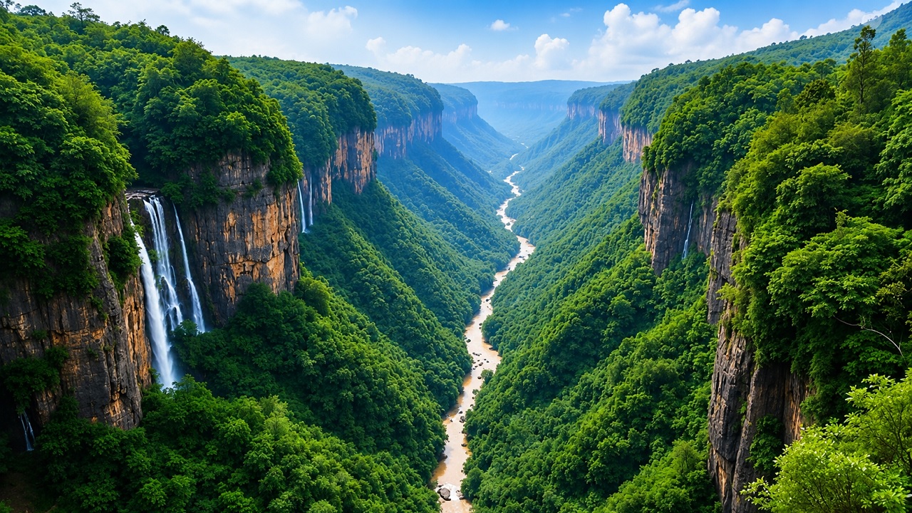
Western Ghats

Synopsis: Congress and BJP argue that the Kasturirangan-based ESA proposal risks bringing plantations, farmland and settlements under restrictions that could constrain future development and economic opportunities. Environmentalists also support ground verification, but say it should not become merely an exercise to shrink the ESA.
The ruling Congress and BJP in Karnataka have found common ground over the Kasturirangan-based Ecologically Sensitive Area (ESA) proposal, with both calling for a physical survey of the Western Ghats to verify the boundaries drawn using satellite mapping.
During the special session of the Karnataka Legislature on September 22, both Houses unanimously adopted a resolution seeking a review and modifications to the Centre’s seventh draft notification, along with a year to conduct a fresh physical survey.
Environmentalists also support ground verification, but for a different reason. They say it should work both ways, correcting areas wrongly included in the proposed ESA while identifying ecologically important forests, headwaters and vulnerable slopes that may have been left out.
The Centre’s July 27 draft proposes an ESA of 20,668 sq km across 10 districts and 1,449 villages in Karnataka. It is part of the 56,825.7-sq-km ESA proposed across six Western Ghats states.
Chief Minister D.K. Shivakumar said a physical survey was necessary to determine the actual extent of forests and distinguish them from agricultural, horticultural and inhabited areas. The State has proposed a village-wise and survey-number-wise verification.
State BJP president B.Y. Vijayendra has called for joint surveys by the Revenue and Forest departments with the participation of Gram Panchayats and local representatives, survey-number-level maps to be made public, and special Gram Sabhas to record residents’ views. He has also proposed preparing an alternative ESA map based on the exercise.
Speaking to South First, Congress MLA Nayana Motamma said farmers and plantation growers in the 31 villages covered by the proposed ESA in her Mudigere constituency, fear restrictions on future land use. She said the development could affect their livelihoods.
“People here have been growing coffee and arecanut for more than 100 years,” she said, arguing that a physical survey is needed to distinguish forests from plantations, agricultural land and settlements.
The concern extends beyond existing farming. Political representatives argue that including inhabited and cultivated areas within the ESA could restrict future land-use changes and investment in large construction, industries and other development projects covered by the notification. This can limit future economic opportunities even though agriculture and plantation activity itself is not prohibited.
The current draft prohibits mining, quarrying and sand mining, new thermal power plants, Red Category industries and certain large construction and township projects. Hydropower projects are regulated rather than prohibited.
Environmentalists therefore dispute claims that the notification would broadly prevent residents from continuing existing livelihoods.
“Kasturirangan report never said that your land status will change. They said that your land status will continue as it is,” environmental researcher Prof. Bharat Shetturu said.
Environmentalists say the notification does not provide for displacement or loss of land ownership. Agriculture and plantation activities are not among the prohibited activities, while existing houses can be repaired, extended or renovated subject to prevailing laws. Local roads, water pipelines, electricity lines and hospitals are also not prohibited.
Environmentalists say the demand for more accurate mapping is legitimate, but argue that ground verification can complement rather than replace existing scientific data.
“What they can do is, now fine-level of data is available with us. So, let the government take help from institutes like Indian Institute of Science (IISc),” Shetturu said.
He said ground verification should also examine why particular villages were included in the first place.
“Some areas between protected forests, could be important for maintaining ecological connectivity and the movement of wildlife, including elephants and tigers. Let the ground survey happen through the help of researchers and other scientists, so that they can take a call,” he said.
The original Kasturirangan exercise used satellite data at a 24-metre resolution, to distinguish natural and cultural landscapes. Its 2013 recommendations identified roughly 37% of the Western Ghats, or about 59,940 sq km, as ecologically sensitive.
A 2023 study co-authored by Shetturu argues for more detailed mapping of ESA boundaries integrating ecological, hydrological, climatic and social factors. Significantly, the study used both satellite data and field surveys, suggesting that the two methods can be used together to map ecologically sensitive areas more accurately.
In a joint submission dated September 25 to the Union Environment Ministry and the Karnataka government, environmental and civil-society organisations cited Mapping Malnad’s preliminary GIS analysis, which found that georeferencing the Karnataka ESA map produced an area of about 19,805 sq km – around 863 sq km, or 4.18%, less than the 20,668 sq km stated in the draft.
The analysis also flagged discrepancies in village names, strengthening the case for more precise ground-level verification of the proposed boundaries
Nirmala Gowda, founder and editor of Mapping Malnad, said the government should now proceed with the exercise. “Fine, come and do the ground verification, who’s stopping them? It has not been done for over 15 years, please do it now,” she said.
She also called for the State to formally translate the notification into Kannada before proceeding with consultations.
However, environmentalists argue that correcting the map cannot be limited to excluding settlements, plantations and farmland that may have been wrongly included.
Shetturu said the ecological importance of the Western Ghats extends beyond formally notified forests, particularly because rivers originating there support water security across southern India.
“If the Western Ghats forests are not conserved, the water security of all South Indian states will be affected,” he said.
Mapping Malnad’s analysis similarly identifies some headwater streams and steep, landslide-vulnerable slopes outside the proposed ESA and argues that these areas should be assessed for inclusion.
Gowda said ecological risk assessment should form part of the exercise. “Do the landslide risk analysis,” she said, arguing that decisions on which areas to include or exclude should be based on scientific assessment.
She also suggested separating the mining prohibition from the wider dispute over the ESA boundaries. “The government should do a separate notification, if possible, just for the mining part,” she said.
The joint submission also seeks stronger restrictions on large infrastructure projects, including hydropower and pumped storage projects requiring prior environmental clearance, major new highways and railway lines.
Also Read: A Karnataka mystery that isn’t: Why are Congress leaders blaming their own five guarantees?
Kerala provides a precedent for physical verification changing the proposed boundaries.
Under the Oommen Chandy government, the state appointed the Oommen V. Oommen Committee for physical verification. The exercise reduced the Kasturirangan-proposed ESA in Kerala from 13,108 sq km to 9,993.7 sq km by seeking to exclude settlements, agricultural land and plantations. The Centre subsequently reflected the revised 9,993.7 sq km figure in its 2014 draft notification.
For environmental groups, the disagreement does not lie in the idea of ground-verification, the dispute is over how it should be used: whether to primarily remove settlements, plantations and cultivated land that may have been wrongly included, or also to identify ecologically significant forests, headwaters and vulnerable slopes that the existing boundaries may have missed.
(Edited by Fayisa CA)



